
Northfield Neighbors by Block
Finding Northfield neighbors around an address means separating parcel facts from people facts. The county map can show the parcel next door and its assessed owner. Plats and city maps show how lots and boundaries relate. Civic pages identify organizations with a local connection. None of those sources creates a verified list of every person on a block, so the most reliable result is a map-based record trail with each field labeled by source and date.
| Block source | What it can show | Access route |
|---|---|---|
| Rice Beacon | Adjacent parcels, assessed owner, situs and mailing fields | Public map, selected parcel by selected parcel |
| Plats and local maps | Lot, block, subdivision, and street layout | Recorder, library, and city maps |
| MNVotes or MyBallot | Individual registration confirmation or election geography | Identity-bound lookup or address/ZIP geography |
| City permits and code files | Public work, case, and date evidence when releasable | City office or Chapter 13 request |
| Chamber associations | Organization names and public contact listings | Public category directory, not a member roster |
| Library and newspaper sources | Historic address-to-name and civic references | Pye Room, historical collections, microfilm |
The table is deliberately limited. An owner can have a separate mailing address, an association can be recorded as the owner, and a planning layer is not a people record. Northfield neighbors are best understood from the records that actually match the question.
Northfield Neighbor Parcel Fields
Beacon’s property report describes a parcel through multiple fields. The situs address is the physical location and the key for map navigation. The assessed owner is the owner listed for assessment purposes. The owner mailing address is where tax correspondence goes. A mailing address may be somewhere else, and an assessed owner field does not establish the current people at the property.
Use the legal description to keep block results straight. A legal description may be written as a lot, block, subdivision, certificate-of-title, or metes-and-bounds description. It is the most durable bridge to Recorder records if a street address is written differently in an older source. The parcel number performs a similar bridge between Beacon, maps, and recorded instruments.
- Parcel ID
- The county identifier used to distinguish one property record from another.
- Situs
- The physical address of the parcel, not necessarily a mailing contact.
- Assessed owner
- The owner field on the assessment record, which is not a full household listing.
- Legal block
- The lot, block, subdivision, or other description that connects parcels to plats and deeds.
Northfield Neighbor Map Context
County and city maps have different roles. Beacon can provide aerial context, parcel polygons, FEMA floodplain, two-foot contours, soils, bird’s-eye imagery, Pictometry, and comparable-search tools. These layers help identify land and the selected parcel. They do not identify a group of neighbors, and Rice has not documented a block-wide person search or export.
The city’s interactive maps add zoning, flood context, wards, precincts, historic imagery, trails, city projects, and Rice/Dakota geography. Read those layers as civic context around a parcel. A ward or zoning color does not establish who is associated with a given property.
Northfield also crosses Rice and Dakota geography. A city label or a 55057 postal result does not alone settle which county holds a record. Confirm jurisdiction through the selected parcel and the official map rather than assuming every nearby property follows one county path.
Northfield Neighbor Voter Boundaries
MNVotes is an individual registration-check tool. It requires a name, full date of birth, and address, so it cannot answer a request for everyone on a Northfield block. MyBallot accepts a ZIP or address to return election, polling, precinct, district, and caucus geography. Those tools are useful for confirming civic boundaries, but neither one is a public neighbor directory.
Minnesota Statute 201.091 limits voter-file access and uses. A qualified request involves identification, a written statutory purpose, payment, and a copy route described in the statute. The data may not be published online in searchable form, sold, or loaned. Do not use individual lookup results to assemble a block list.
Protected voter information adds another reason for caution. A missing ordinary address is not evidence that a person is absent. Use precinct and ward maps to understand election geography, then direct questions about official voter data to the appropriate elections office.
Northfield Neighbor Beacon Method
The adjacent-parcel method starts at the anchor address, not a radius or broad name query. Rice County documents address and parcel search through Beacon and its Map tab. Once the anchor parcel is identified, each touching or nearby polygon can be opened separately. Record a parcel ID for every result before comparing names, because a street label alone is not as stable as the property identifier.
- Search the anchor address in Beacon and select the matching property report.
- Save its parcel ID, situs address, assessed owner, tax mailing address, and legal description.
- Open the Map tab, identify the anchor polygon, then pan and zoom to the adjoining polygons.
- Open each parcel individually and retain its owner, situs, mailing field, and parcel ID as separate values.
- Use lot, block, and subdivision language to confirm the properties share the relevant legal block.
No official Rice County material verified a public radius, buffer, CSV export, or all-neighbors control. A condominium, townhouse association, institutional parcel, or vacant tract may name an organization instead of a household. For a complete named-street record trail, use the Northfield Street Directory process after the immediate block has been mapped.
Note: Record the map date with each parcel result because assessment fields and ownership can change over time.
Northfield Neighbor Association Contacts
The Northfield Chamber association category lists public organization entries and location details. These contacts can help identify an association associated with a parcel or street. The inspected category did not supply membership lists or a join procedure, so none of the entries below should be read as a list of nearby residents.
| Public association listing | Listed location | Use of the listing |
|---|---|---|
| One Thousand Cannon Valley Drive Homeowners Association | 1000 Cannon Valley Drive | Organization contact lead |
| Homes At Waters Edge Association | 1503 Waters Edge Circle | Organization contact lead |
| Southbridge Townhomes Association | Southbridge Drive | Organization contact lead |
| Presidential Townhome Association | Coolidge Court | Organization contact lead |
| Lake Drive Townhome Association | 2035 Lake Drive | Organization contact lead |
| Sibley View Townhouse Association | 1819 Estate Lane | Organization contact lead |
| JHW Townhomes Association | 1120–1182 Highland Avenue | Organization contact lead |
Association names may appear as the owner of a shared parcel. In that situation, the parcel record identifies the organization, not individual Northfield neighbors. Ask an association directly about its own public contact policy instead of inferring membership.
Northfield Neighbor Civic Contacts
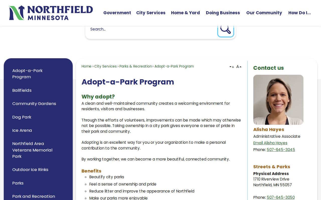
Northfield’s Adopt-a-Park program identifies community-facing groups including Liberty Park Neighborhood, Friends of Roosevelt Park and Northfield Youth Baseball, Northfield Garden Club, and Friends of Way Park. City acknowledgments also recognize Northfield Rotary and Friends of Downtown. These are civic contact leads, not current personal directories.
The city civic-groups page is the source for this community layer.
The source supports finding public community organizations connected to Northfield places. It does not authorize a search for individual participants or members.
For older local organization trails, the library’s church histories, the Northfield History Center’s organization files, and city acknowledgments are better research leads than a current roster. No official public block-watch roster or congregation membership directory was located in the research.
Northfield Neighbor Block History
Historic directories, phone books, newspaper indexes, maps, and plats can place a name or civic reference near a block in a stated period. Northfield Public Library’s Pye Room holds local-history books, maps, school yearbooks, phone books, Polk directories, newspaper and census microfilm, clippings, and files about people and buildings. Rice County Historical Society adds directory runs, phone books, obituary scrapbooks, and manuscripts.
Start with the exact address form printed in a historical source. Then compare the parcel’s lot, block, and subdivision with maps or plats. A published name is a dated lead, not proof of who is there now. Pair it with a later directory, deed, or source issue before drawing a timeline for a Northfield block.
Note: Library card indexes and microfilm can fill digitization gaps, particularly when an online search returns only a brief citation.
Northfield Neighbor Lookup Limits
Official parcel and civic sources are narrower than commercial neighbor tools. The official records identify a parcel, assessed owner, recorded instrument, or public organization with a stated access rule. Commercial tools may combine records from different dates and sources, which makes their connection to a current block difficult to verify. Neither category supplies a sound basis for a complete private-household list.
| Source category | Strength | Limit |
|---|---|---|
| Official parcel and Recorder records | Named custodian, parcel or instrument context | Ownership and filings are not a complete resident roster. |
| City civic and association listings | Public organization contacts and place context | They do not reveal membership. |
| Commercial neighbor tools | May offer broad, mixed-source leads | Dates, sources, and associations require independent verification. |
Utility customer information and motor-vehicle personal data are not public neighbor-search material. Minnesota Safe at Home protects participant data under Minnesota Statutes 5B.03, 5B.07, and 13.805. Do not infer a protected address from a missing map or record result.
Lawful use. Use Northfield neighbor records for personal, lawful research and community questions. Do not use any address or contact information to stalk, harass, intimidate, or harm another person.